![]()
You are here
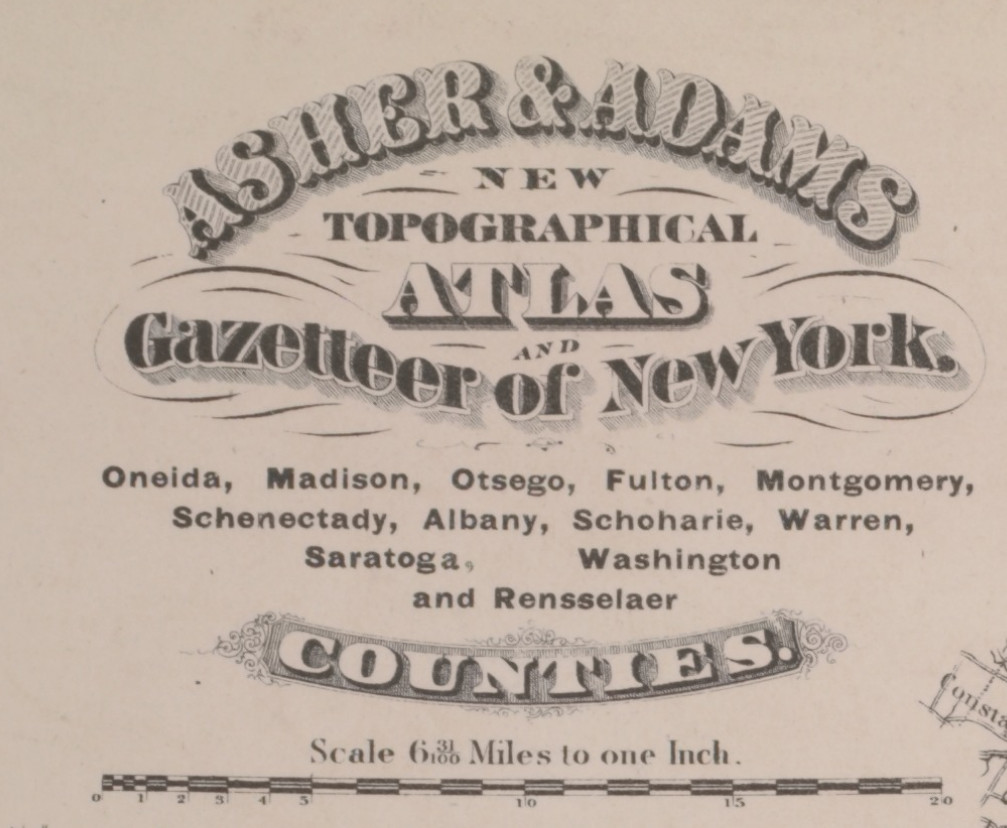
1871 Multi-County Map published by Asher & Adams
Click on link below information to see map.
TITLE
Oneida, Madison, Otsego, Fulton, Montgomery, Schenectady, Albany, Schoharie, Warren, Saratoga, Washington, and Rensselaer Counties"
NAMES
Asher & Adams (Publisher)
COLLECTION
Atlases of the United States
New York
New topographical atlas and gazetteer of New York, comprising a topographical view of the several counties of the state, ... including ... map of the United States and territories ... Compiled from the latest astronomical observations, official surveys and records of the United States and territories ...
DATES / ORIGIN
Date Issued: 1871
Place: New York
LIBRARY LOCATIONS
Lionel Pincus and Princess Firyal Map Division
Shelf locator: Map Div.++ (New York State) (Asher & Adams, firm. New topographical atlas and gazetteer of New York. 1871)
TOPICS
New York (State)
GENRES
Atlases
Maps
NOTES
Content: Engraved on copper plate and lithographed from original drawings.
Content: Library copy imperfect: p. 58-59 wanting.
TYPE OF RESOURCE
Still image
IDENTIFIERS
NYPL catalog ID (B-number): b14043124
Universal Unique Identifier (UUID): 4d222490-c5f6-012f-5c96-58d385a7bc34
RIGHTS STATEMENT
The New York Public Library believes that this item is in the public domain under the laws of the United States, but did not make a determination as to its copyright status under the copyright laws of other countries. This item may not be in the public domain under the laws of other countries. Though not required, if you want to credit us as the source, please use the following statement, "From The New York Public Library," and provide a link back to the item on our Digital Collections site. Doing so helps us track how our collection is used and helps justify freely releasing even more content in the future.
ITEM TIMELINE OF EVENTS
18712020
| Attachment | Size |
|---|---|
| 8.76 MB | |
| 141 KB |